Almaty · 43.2389° N · 76.8897° E
The journey
A high-mountain passage
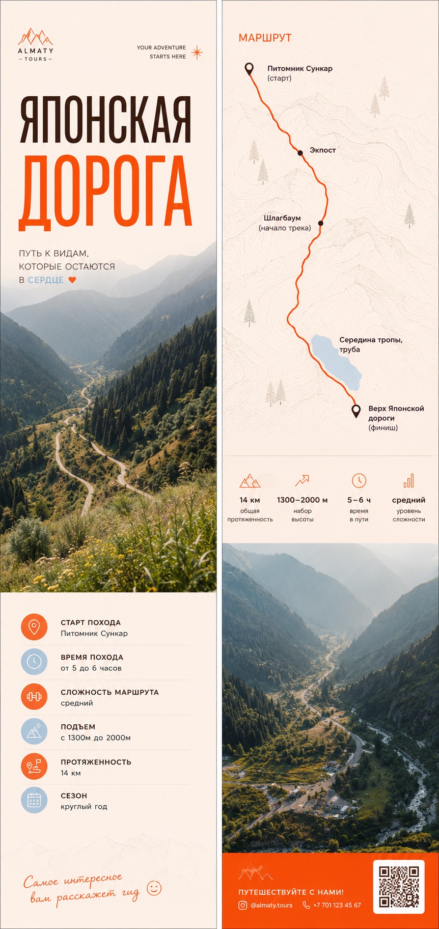
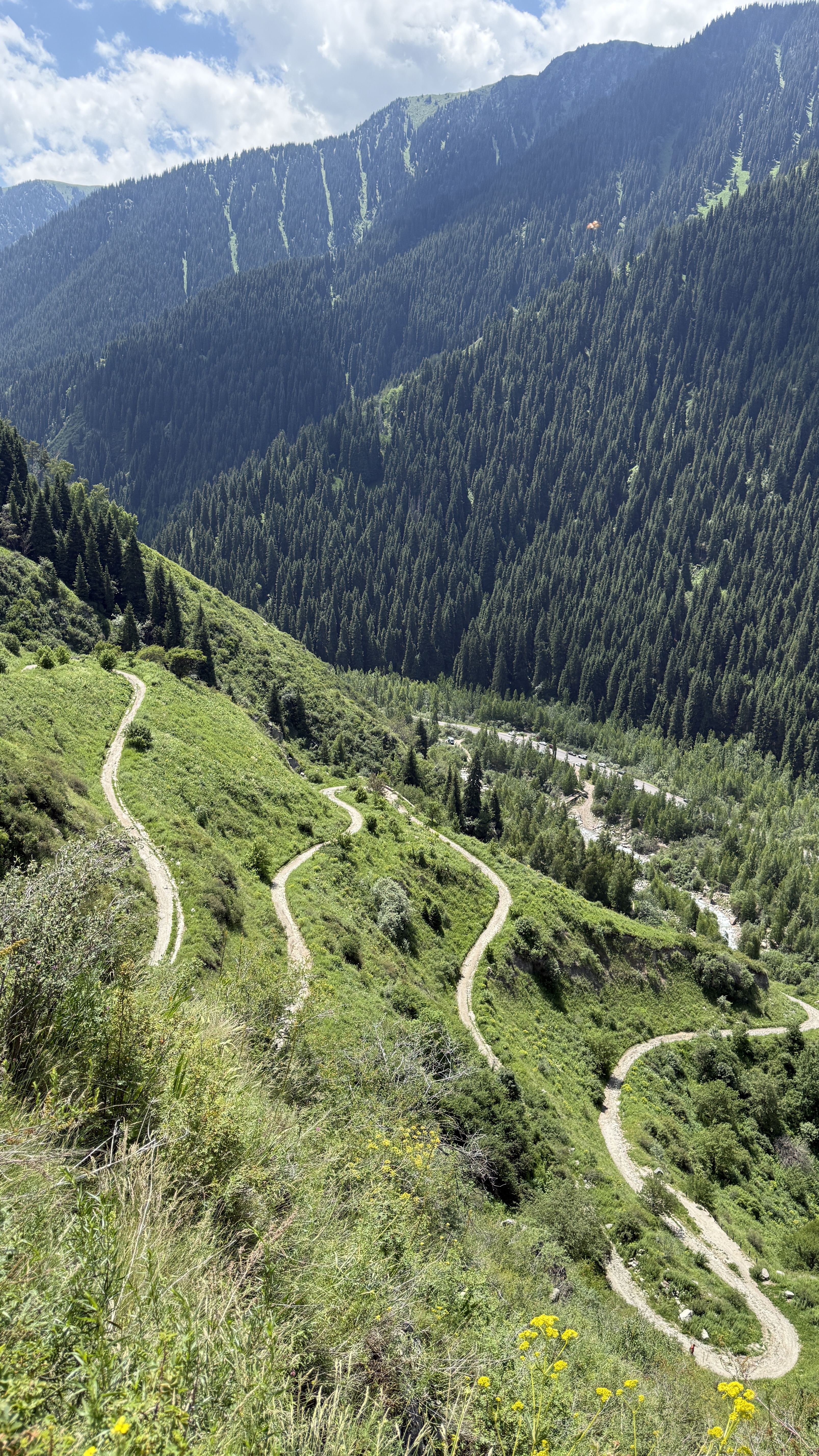
The Japanese Road climbs through the foothills above Almaty, following an old mountain line where every turn changes the scale of the landscape. We take it slowly: enough structure to feel cared for, enough freedom to remain present.
Your field atlas
A route with room to feel.
These waypoints are a guide, not a stopwatch. Mountain conditions and your group’s rhythm always come first.
Available year-round, subject to mountain conditions.
A moderate hike for active travellers. We confirm the final route after learning about your group.
43.2389° N · 76.8897° E
Along the way
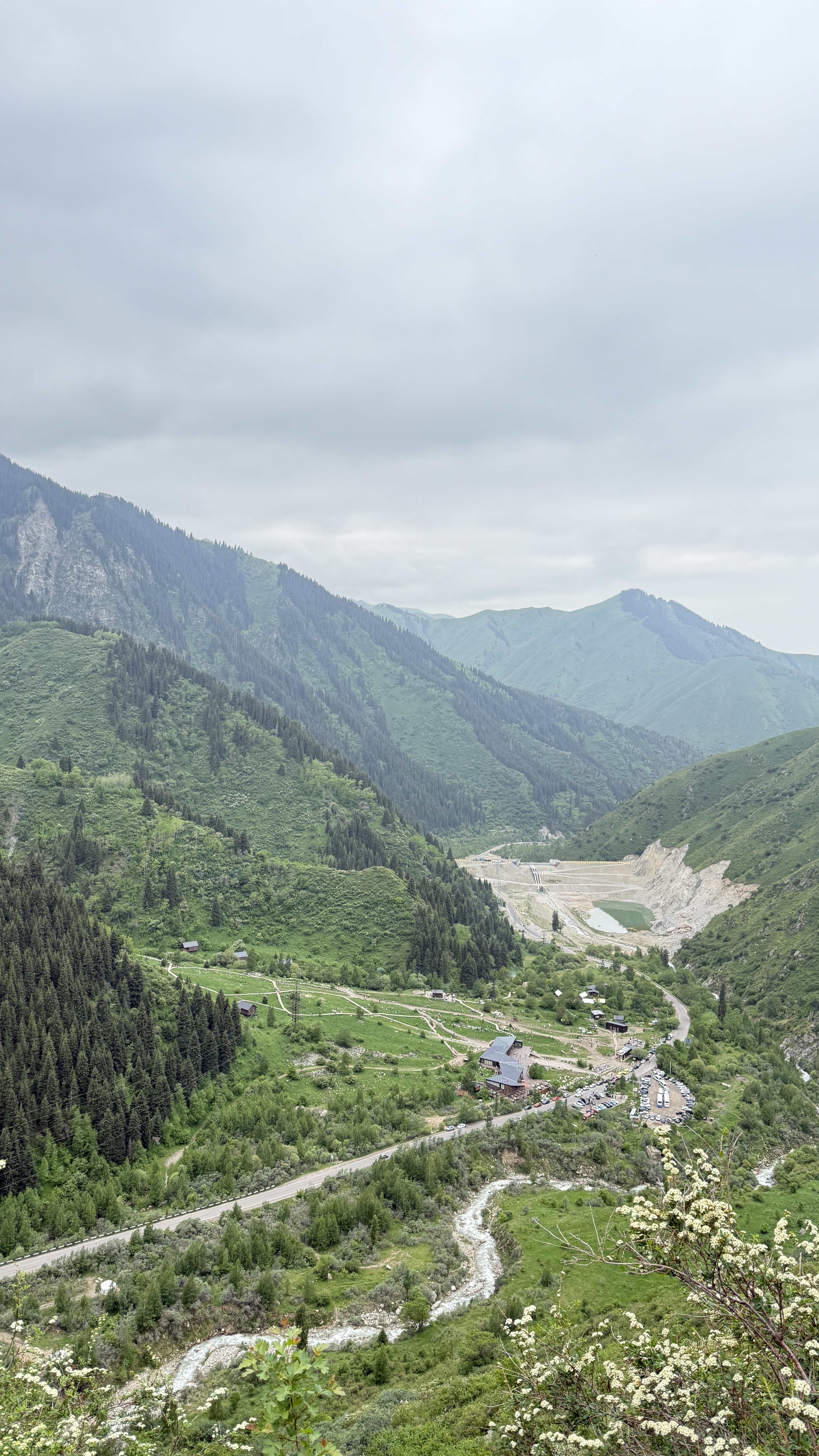
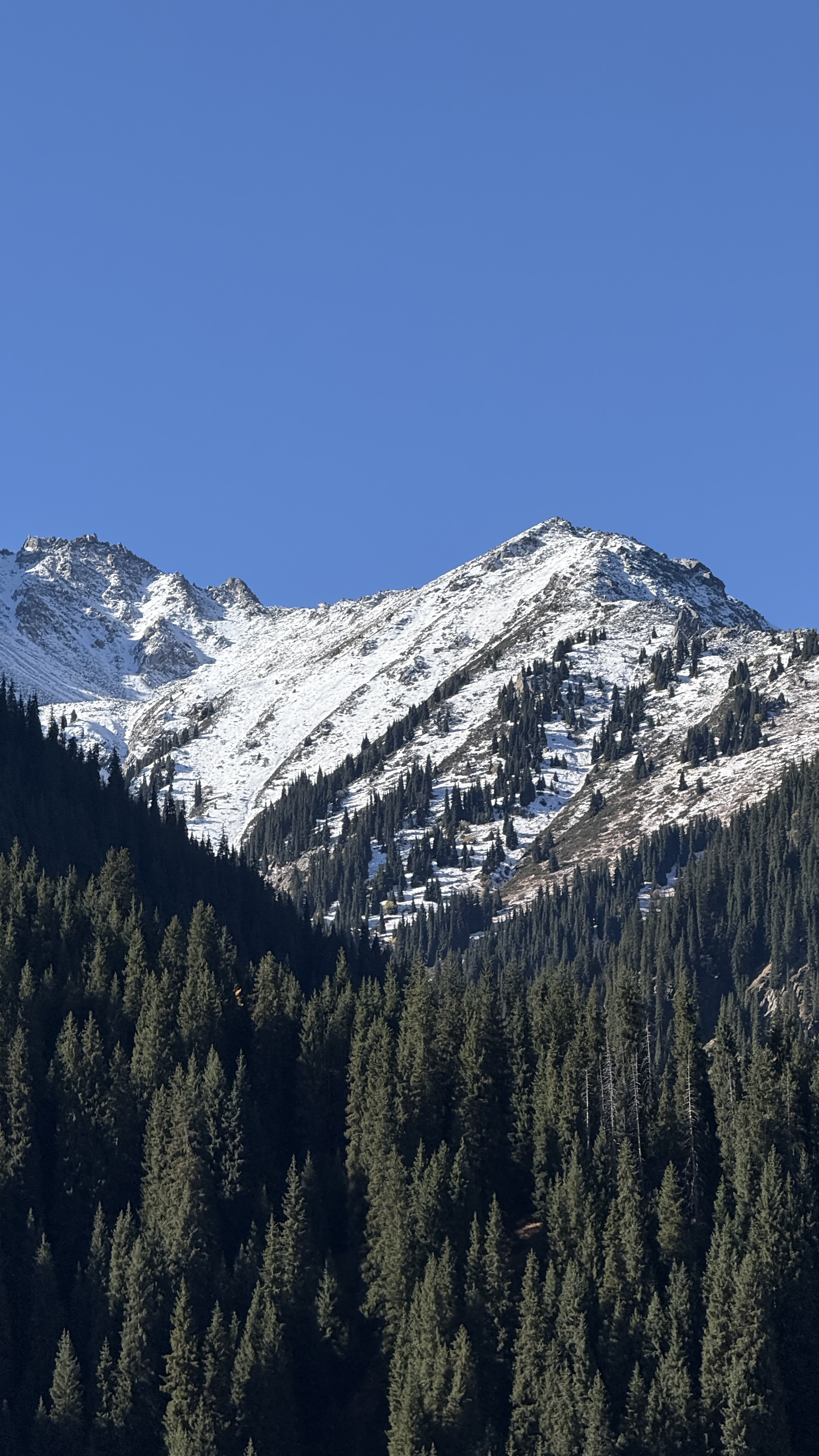
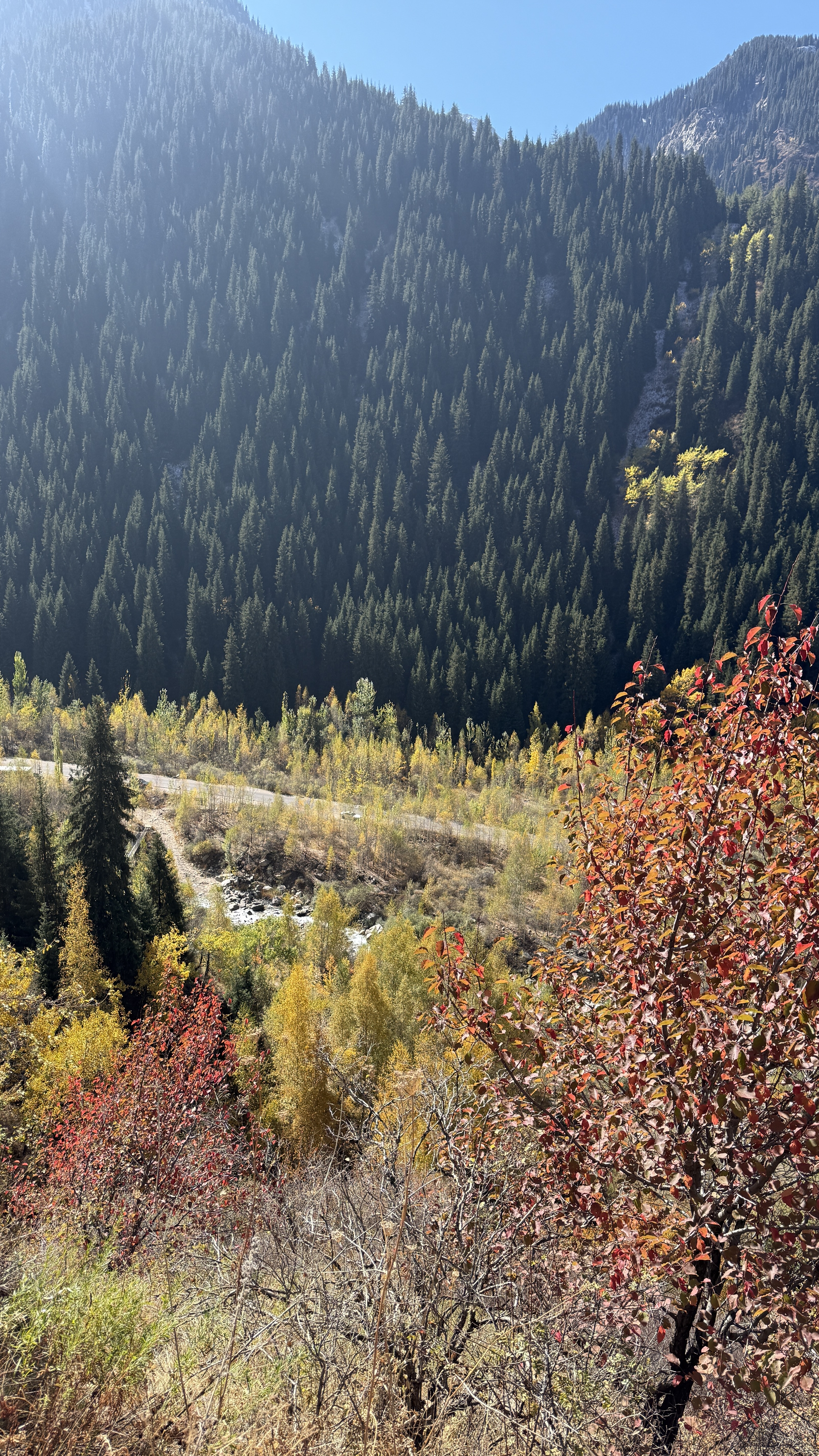
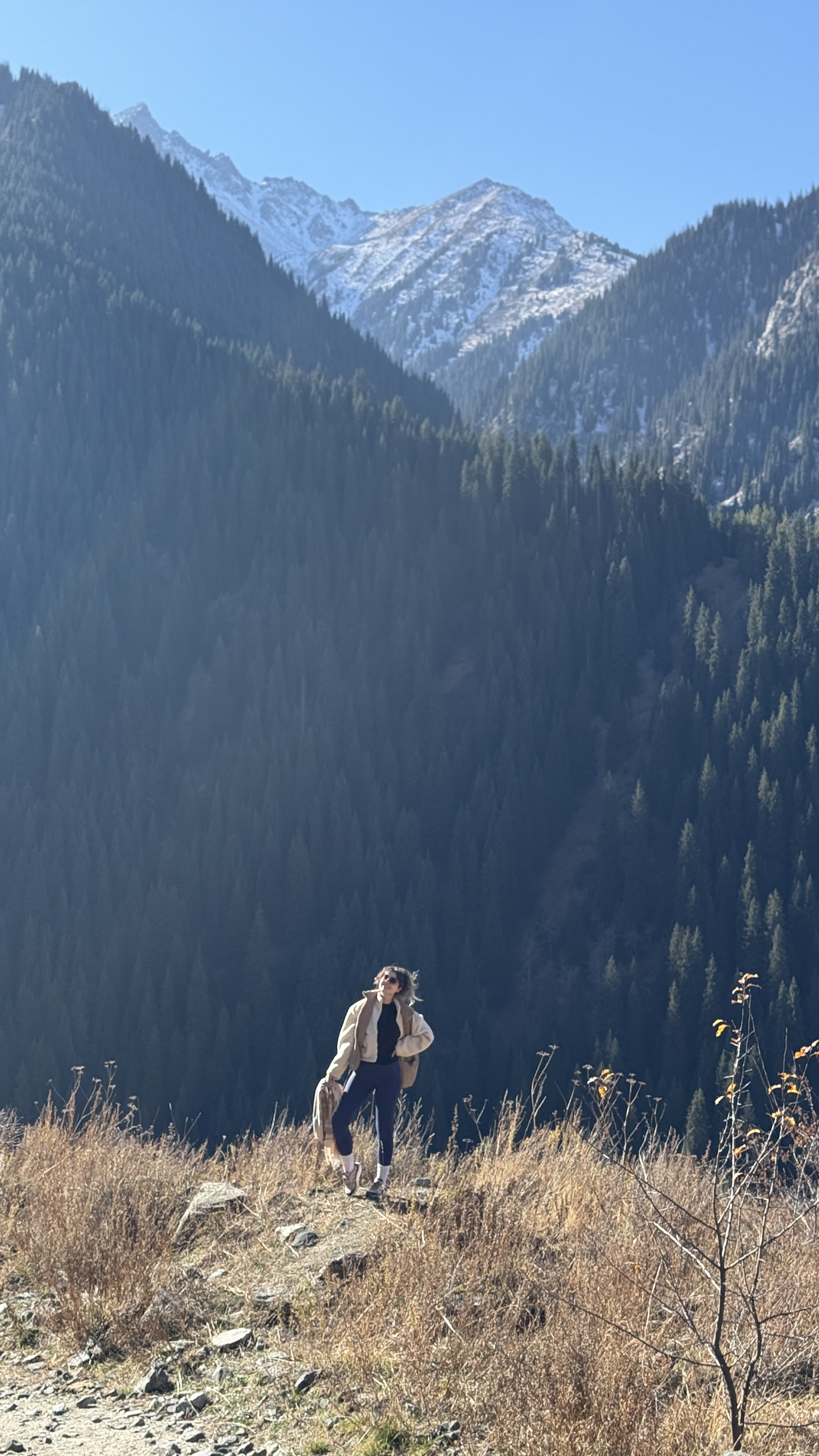
The Japanese Road, as it feels.
Five real moments from the route — changing light, changing seasons, the same sense of space.
Thoughtfully included
Everything you need.
Nothing you don’t.
- 01A private pace, adapted to your group
- 02A considered picnic and warm drinks
- 03Local stories without a rehearsed script
- 04Time for photographs — and time without them
Make it yours
Let’s shape your The Japanese Road day.
Tell us when you’re coming, who you’re travelling with and how you like to move.